
Service
Engineering & Infrastructure Inspections
Detailed visual data from difficult or hazardous locations without unnecessary exposure for ground crews.
Clear information for confident decisions.
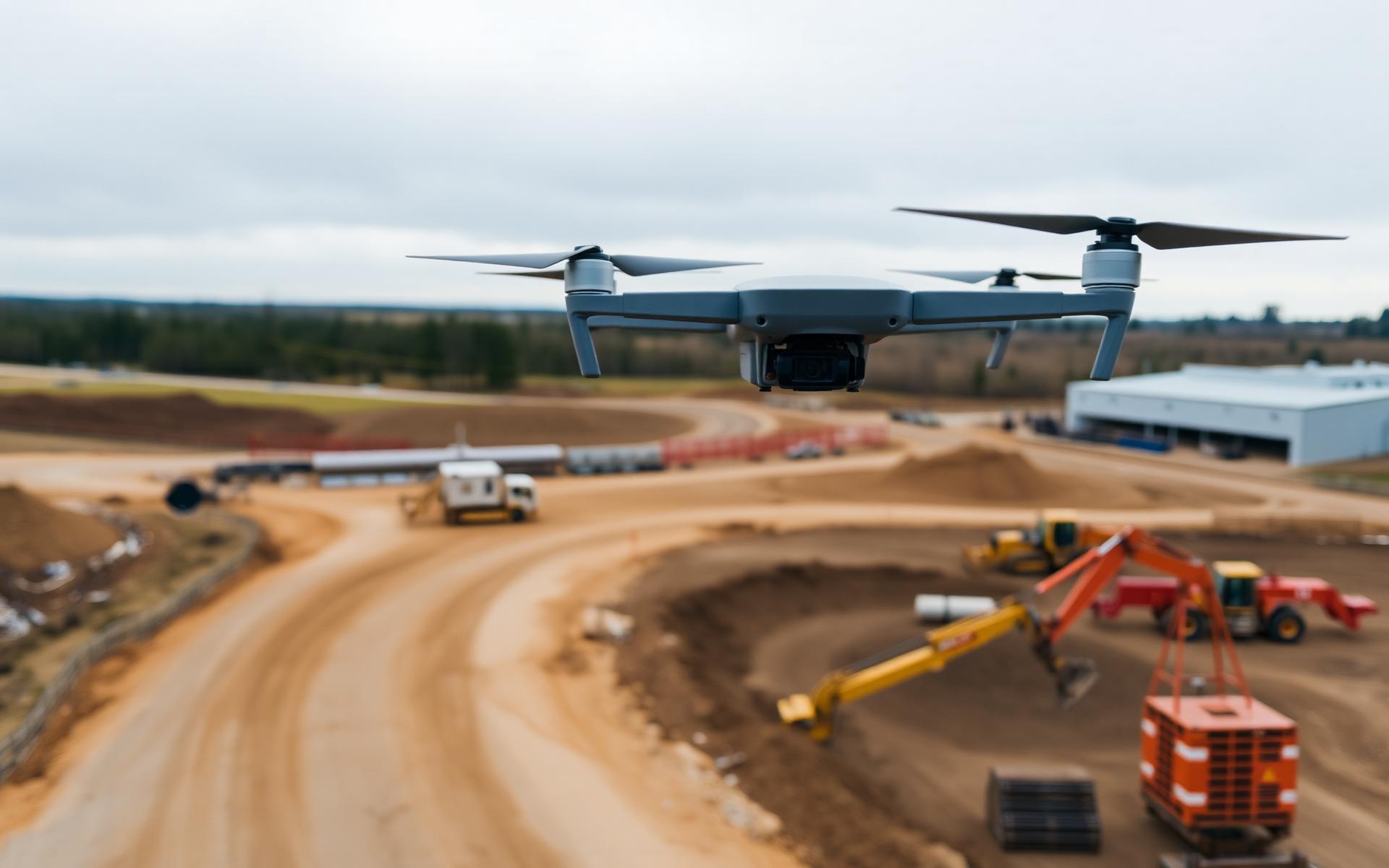
High-resolution aerial imagery supports engineering review of structures, corridors and industrial assets while improving access and field safety.
Have a project in mind?
Tell us what you need to measure, monitor or inspect. We’ll help define the right aerial-data approach.