About Compass UAV
Built for the Field.
Trusted on the Job.
Since 2014, Compass UAV has helped engineering, construction, and infrastructure clients reduce field costs, improve safety, and get better data — using drones before most people in the industry took them seriously.
Our Story
12 Years in the Air
Compass UAV wasn’t built to chase a trend. It was founded in 2014 on a specific conviction: that drone technology would fundamentally change how construction and engineering projects collect data — and that the companies ready for that shift would deliver better outcomes for their clients.
Based in the Georgian Triangle and operating across Canada and the U.S., Compass UAV has spent over a decade building the workflows, equipment capability, and operational experience that engineering-grade data demands.
Founded on a Bet
Compass UAV launched with a clear belief: drones would become a standard workplace tool on construction and engineering sites. At the time, that wasn’t obvious.
Expanding Capability
Early client work spanned construction sites, aggregate operations, and government projects. Compass UAV invested in precision photogrammetry and added LiDAR scanning capability.
Complex Missions
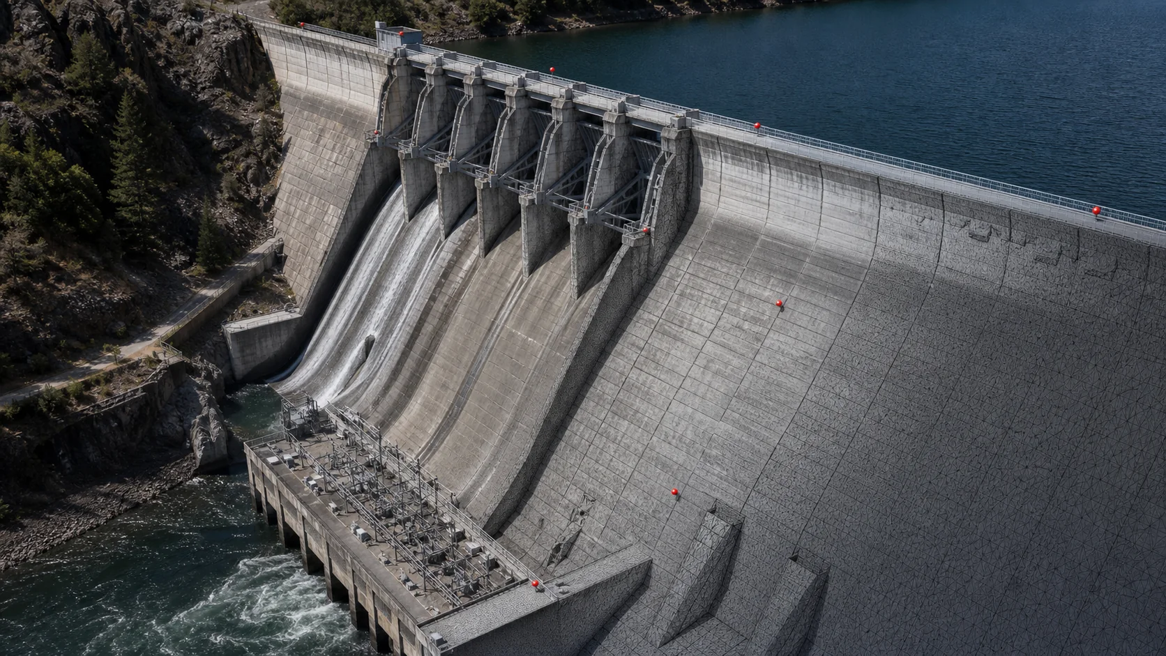
The project portfolio grew to include reservoirs, dams, open-pit mines, airports, landfills, and large-scale infrastructure surveys across Canada and the United States.
12 Years Commercial
With 12 years of commercial UAV operations — uncommon in this industry — Compass UAV continues to serve engineering firms, municipalities, and infrastructure owners.
Our Mission
Help clients reduce field costs, improve safety, and get better information through high-quality drone data.
Better Data
High-resolution, georeferenced outputs that go directly into engineering workflows — not raw files requiring additional processing before they’re useful.
Improved Safety
Getting accurate data from difficult, hazardous, or access-restricted sites without putting ground crews in harm’s way. That’s a real outcome, not a talking point.
Reduced Field Costs
Drone-based data collection covers large areas faster and with smaller crews than conventional survey methods — and at mobilization costs that reflect our Southern Ontario base.
Staying Ahead
Actively investing in advances in drone technology, processing software, and AI so clients benefit from stronger capability and lower project costs as the industry evolves.
Track Record
12 Years. Hundreds of Projects.
against ground
control
Sectors Served
Where We’ve Done the Work
Over 12 years of commercial operations, Compass UAV has completed projects across a wide range of demanding site types — including environments where ground access is restricted, hazardous, or simply not cost-effective.
Reservoirs & Dams

Open-Pit Mines & Aggregates

Airports & Aerodromes
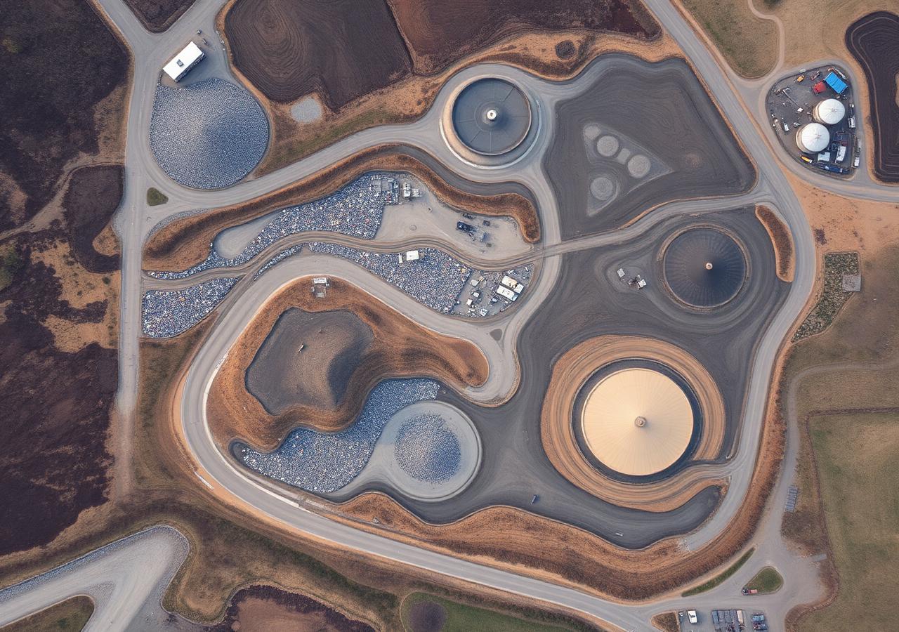
Landfills & Waste Sites

Construction Management

Government & Municipal

Infrastructure & Utilities

Agriculture & Environmental

The Person Behind the Work
Meet Johnathan Smeh
Founder & Chief Pilot, Compass UAV
Johnathan has logged thousands of hours across fixed-wing and multi-rotor platforms — carrying out complex flight and data collection missions on sites where conditions, access restrictions, and accuracy requirements don’t leave room for error.
He holds a Transport Canada Advanced RPAS certificate, a Transport Canada Flight Reviewer qualification — authorizing him to conduct formal flight reviews for Advanced certification candidates — and an FAA Part 107 certificate for U.S. operations. His work has taken him across Canada and into the United States, covering everything from reservoir and dam surveys to open-pit mines, airports, and large infrastructure corridors.
His focus has always been on the data. Aviation is the means; high-resolution, engineering-ready deliverables that genuinely impress clients while remaining cost-effective — that’s the measure of a good project.
Founded
Credentials
- Transport Canada Advanced RPAS Certificate
- Transport Canada Flight Reviewer Qualification
- FAA Part 107 Remote Pilot Certificate
- Fixed-Wing & Multi-Rotor Platform Experience
- Projects Across Canada & the United States
Let’s Connect
Connect on LinkedIn to see recent projects, industry insights, and behind-the-scenes from the field.
Connect on LinkedInCredentials & Compliance
Certified to Operate Where It Matters
Professional UAV operations require more than a drone and a camera. Compass UAV holds active certifications under both Transport Canada and FAA frameworks — covering commercial operations across Canada and the United States.
Advanced RPAS Certificate
Compass UAV holds a Transport Canada Advanced RPAS certificate, authorizing operations in controlled airspace, near aerodromes, and in complex operating environments across Canada.
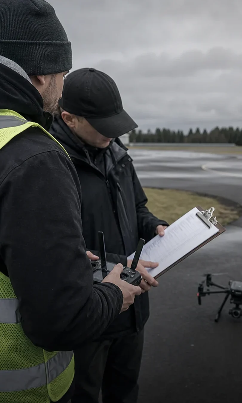
Flight Reviewer Qualification
Our principal operator holds a Transport Canada Flight Reviewer qualification — authorizing the conduct of formal practical flight reviews for Advanced RPAS certification candidates.

FAA Part 107 Remote Pilot Certificate
We hold a Federal Aviation Administration Part 107 Remote Pilot Certificate, enabling compliant commercial drone operations in the United States under FAA regulations.
Canada & U.S. Project Experience
With active certification under both Transport Canada and FAA frameworks, Compass UAV has completed commercial projects on both sides of the border across a wide range of site types.
Looking Ahead
Staying Ahead of the Curve
The UAV industry is evolving quickly — new platforms, smarter software, and AI-assisted analysis are changing what’s possible. Compass UAV is committed to keeping pace with those changes so clients benefit from stronger service, better data, and lower project costs as the technology matures.
Embracing New Drone Technology
Staying current with advances in UAV platforms and sensor payloads — multispectral, thermal, acoustic, and beyond — so clients have access to the right tool for each project rather than a one-size-fits-all approach.
Better Software & Processing
Continuously improving data processing workflows and integrating new software capabilities so that deliverables are more accurate, arrive faster, and fit more naturally into client engineering and GIS environments.
AI-Enhanced Data Outputs
Actively exploring how AI-assisted processing and analysis can extract more value from aerial datasets — giving clients richer information from the same flight, without adding cost or complexity.
Get Started
Let’s Talk About Your Next Project
Speak with our team about your data requirements. No commitment — just a straight conversation about what aerial intelligence can do for your project.
Book a Consultation