
Service
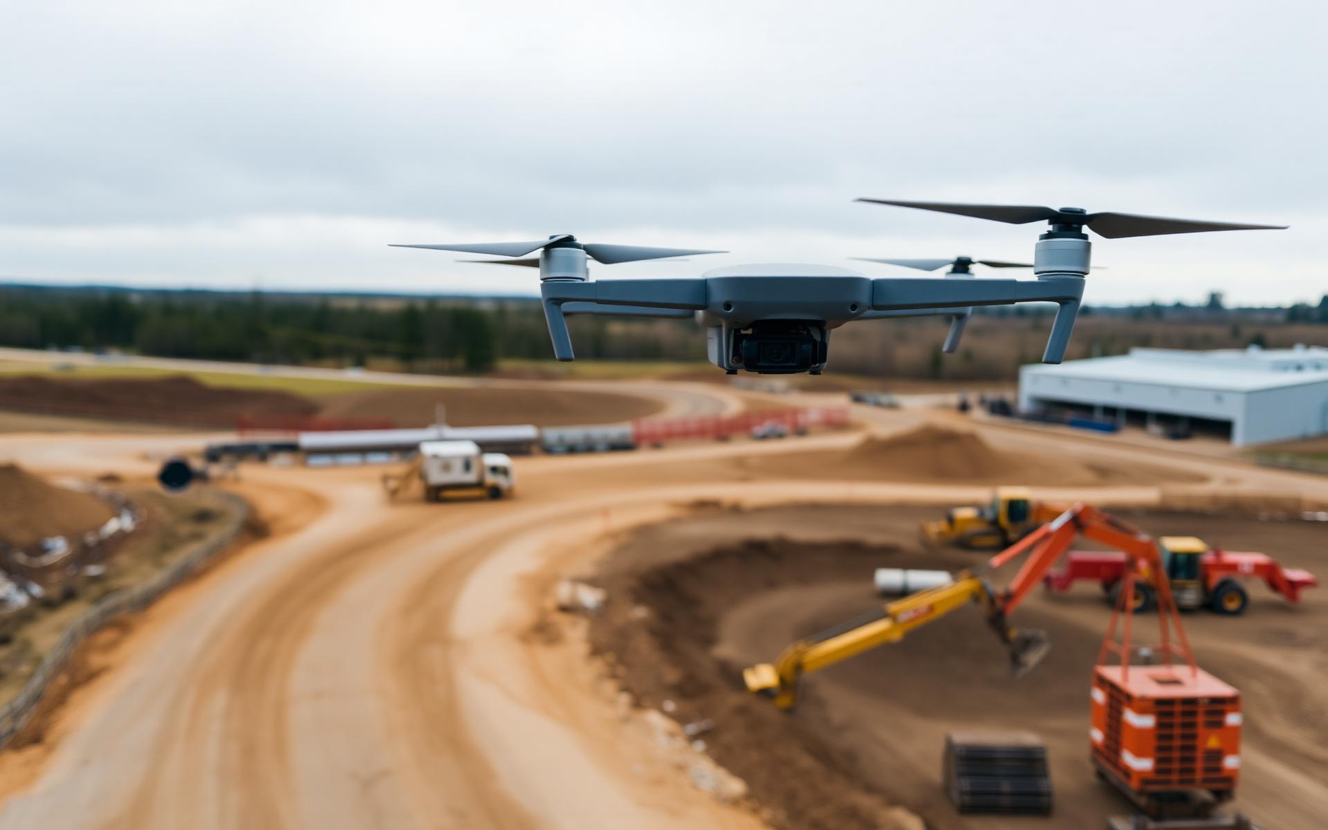
Drone Surveying & Topographic Mapping
Engineering-grade aerial capture for accurate terrain models, orthomosaics, contours and CAD-ready topographic information.
Clear information for confident decisions.
High-density aerial mapping helps project teams understand existing conditions, coordinate design work and reduce time spent collecting data across active or difficult sites.
Have a project in mind?
Tell us what you need to measure, monitor or inspect. We’ll help define the right aerial-data approach.