Industry
Mining & Aggregates
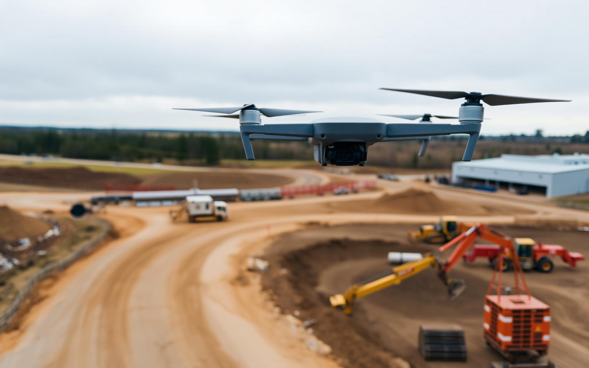
Volumetric reports, updated pit surfaces, disturbance mapping and repeat aerial capture on a defined cadence.
Aerial insight configured for your workflow.
Compass UAV aligns capture methods, quality control and deliverable formats with the needs of your project team and the conditions of your site.
Have a project in mind?
Tell us what you need to measure, monitor or inspect. We’ll help define the right aerial-data approach.