Industries
Built for the teams making the decisions.
Mission planning, sensors and deliverables are matched to the operational questions each industry needs to answer.
Industries we support
Explore how professional UAV data supports teams across Ontario.
Construction
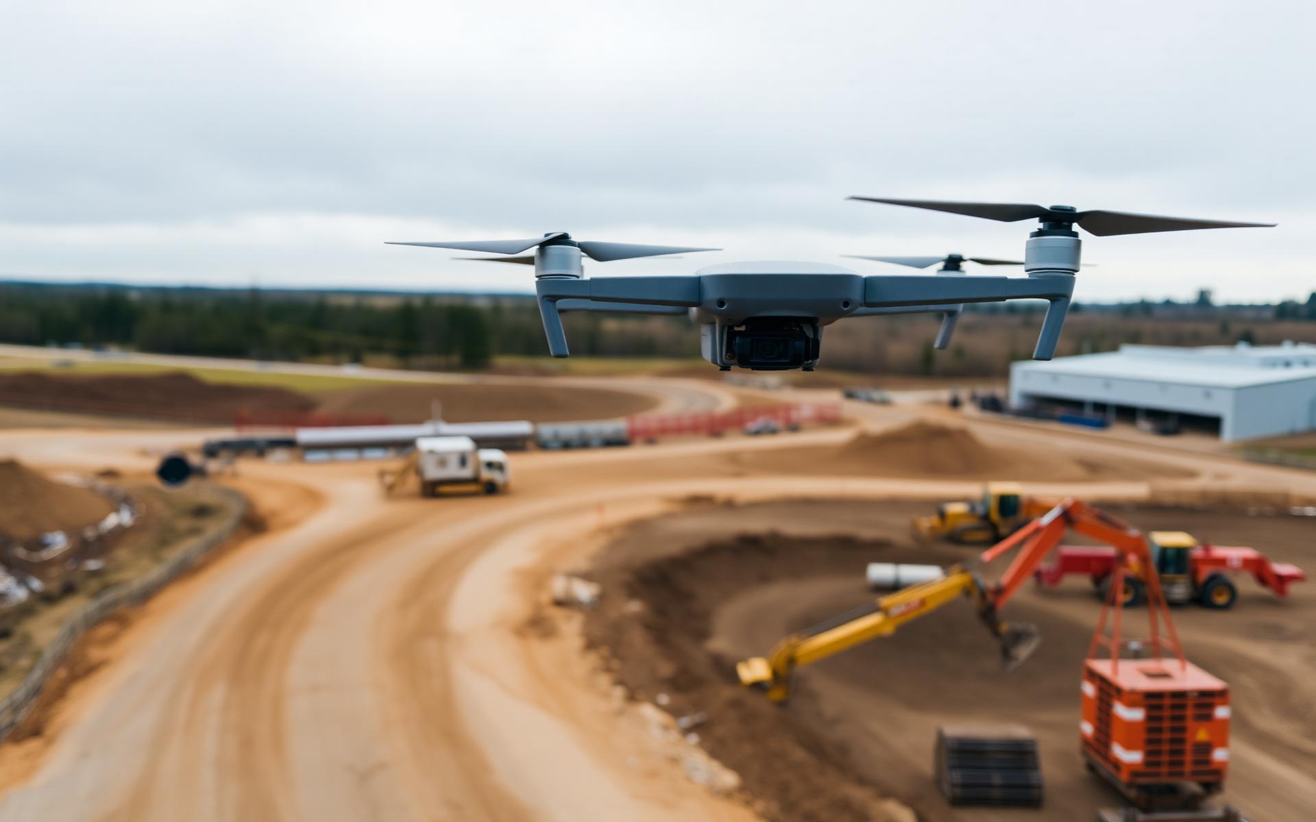
Progress records, volumetric earthworks reporting and clear aerial context for active construction sites.
Civil Engineering
Topographic surfaces, contours, orthomosaics and CAD-ready data registered to your project coordinate system.
Environmental Consulting
Baseline surveys, inventory imagery, seasonal monitoring and time-series comparisons for environmental teams.
Mining & Aggregates
Volumetric reports, updated pit surfaces, disturbance mapping and repeat aerial capture on a defined cadence.
Municipal Infrastructure
Corridor mapping, facility digital twins, inspection imagery and orthomosaic base layers for GIS workflows.
Industrial Asset Management
Close-range inspection imagery and measurable 3D records that support safer, better-informed asset review.
Have a project in mind?
Tell us what you need to measure, monitor or inspect. We’ll help define the right aerial-data approach.